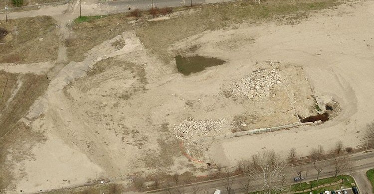
Bird's Eye Views of Allied Paper SitesThese were all grabbed from the Microsoft Live Search Maps web site, using the Bird's Eye viewer. Below is where Bryant Mill C once stood, Bryant Street at the top and Alcott Street at the bottom. The research labs were also here.
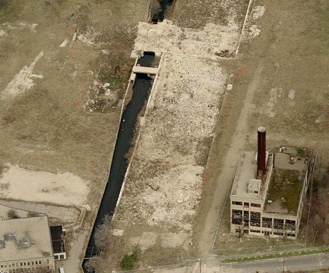
Below is where Bryant Mill D once stood with the power house still remaining in the bottom right and Illinois Envelope in the bottom left. Portage Creek ran through the middle of it.
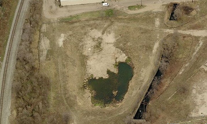
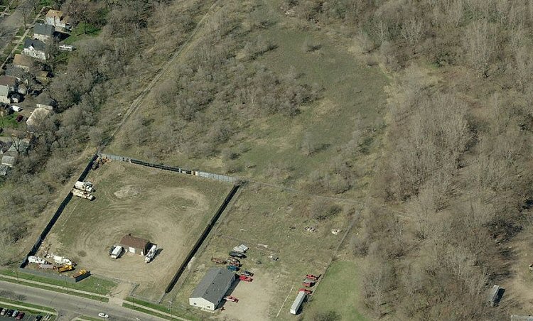
Below is where Bryant Mill E once stood, Bryant Street at the top and Portage Creek running through the right.
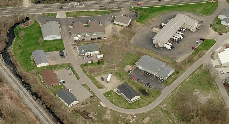
Below is where Monarch Mill once stood, Cork Street at the top, Portage Creek on the left.
Below is where King Mill once stood, Lake Street at the bottom.
|