In April 2015 I was using Google
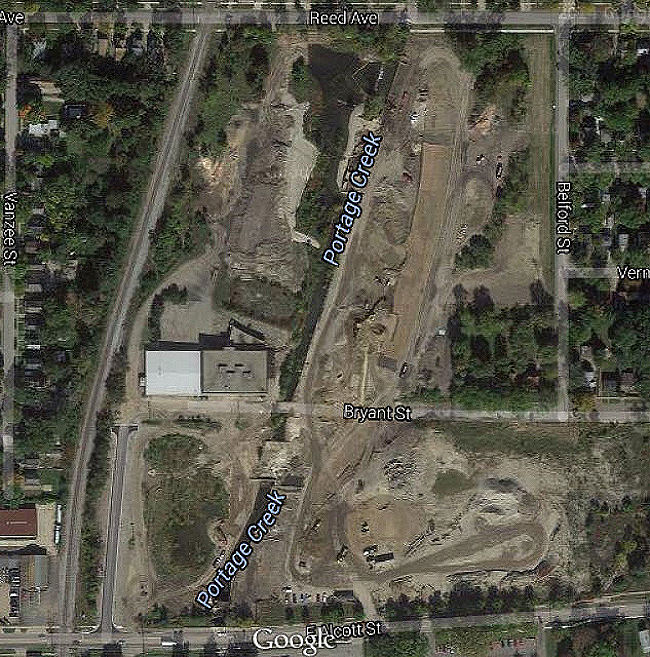
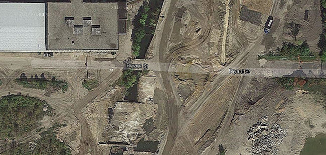
Maps and discovered that the last aerial shots of the Bryant Mill site were
taken while the final cleanup was ongoing in 2011. Here is the entire
construction site
Here's a close-up of the construction site in five screen
captures from the Google site.
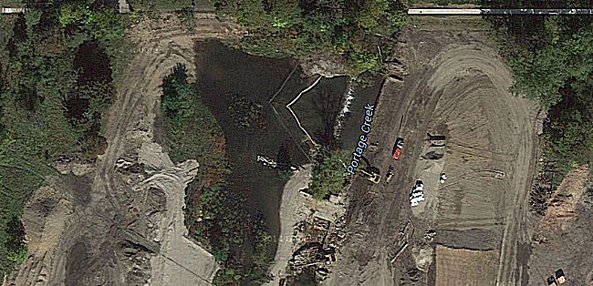
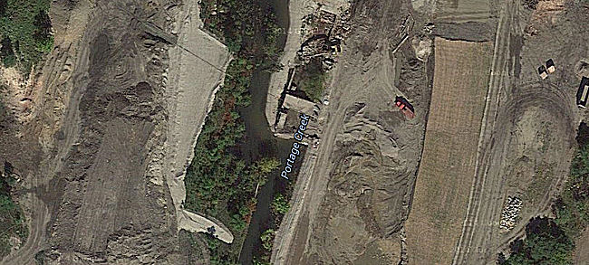
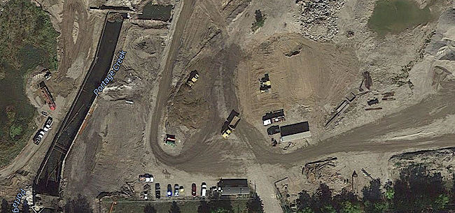
These are the remnants of the two Mill D platforms over
Portage Creek. Note the creek has been temporarily diverted around them.
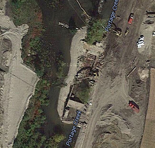
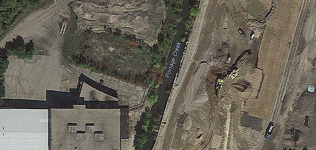
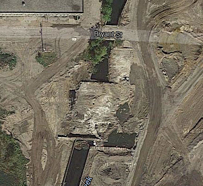
Here are the remains of the Mill E platform over Portage
Creek. Most of the Mill E creek bypass around the platform can no longer be
seen. The Bryant St bridge is still in place but not for much longer.
Return to the 2011 Cleanup links
page